The Sahara Desert is the world’s second largest desert (Antarctica is the largest) and is located in northern Africa. It stretches from the Red Sea to the highlands of Ethiopia. However, the Sahara encompasses regions significantly different from an ecological perspective. The surface of the desert ranges from large areas of sand dunes (which are called erg), to stone plateaus (hamadas), gravel plains (reg), dry valleys (wadis), and salt flats. The northern and southern margins also receive more rainfall and have greater vegetation than central Sahara.
The very scarce rain (less than 25 mm and even less than 5 mm per annum in the east) can fall in any season and in a very irregular way : some areas may receive no rain for years then suffer intense storms. Some areas encompass vast underground aquifers resulting in oases, while other regions severely lack water reserves. Some mountains (Ahaggar, Tassili N’Ajier, Tibesti, Aïr) also rise up in the desert and receive more rainfall and mostly present slightly cooler summer temperatures.
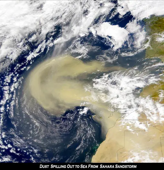
The Sahara occupies approximately 10 percent of the African Continent and is one of the hottest regions in the world, with mean annual temperatures exceeding 30°C. In the hottest months, temperatures can rise over 50°C, and temperatures can fall below freezing in the winter. A single daily variation of -0.5°C to 37.5°C has been recorded. The Sahara is also extremely windy. Hot, dust-filled winds create dust devils, which can make the temperatures seem even hotter. The extreme aridity of this area is a relatively recent feature. Much larger areas of the Sahara had adequate water only 5000 to 6000 years ago. It is not clear how much of this ecoregion was covered with vegetation, but in other parts of the Sahara the vegetation was closer to the savannah woodlands of eastern and southern Africa.
It is reported that in the region south of the Sahara Desert, 1.5 million hectares of land turn is becoming barren every year, with the Sahara expanding in a southward direction.
Africa is increasingly vulnerable to the impact of climate change, easily seen inEthiopia and Rwanda.